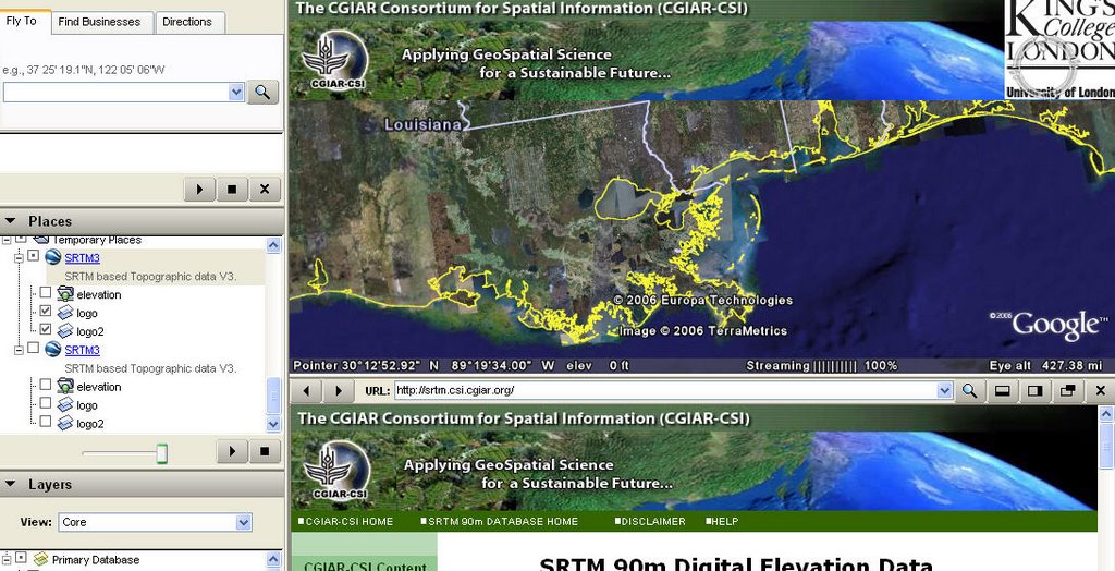
 Looking to view the SRTM data within Google Earth... see http://www.ambiotek.com/topoview (this will launch G Earth) - To use simply Fly To your location and click the nearest waypoint. You will then see a balloon which allows you to preview or download the five degree tiles of data. More documentation at http://srtm.csi.cgiar.org/
Saturday, October 21, 2006
Processed SRTM 90m Digital Elevation Data (DEM) in Google Earth
Looking to view the SRTM data within Google Earth... see http://www.ambiotek.com/topoview (this will launch G Earth) - To use simply Fly To your location and click the nearest waypoint. You will then see a balloon which allows you to preview or download the five degree tiles of data. More documentation at http://srtm.csi.cgiar.org/